| Project Title | SOIL health monitoring and information systems FOR sustainable soil management in
the MEDiterranean region. (SOILS4MED) |
| Supported by | EU- PRIMA |
| Start-End date | 2023-2025 |
| Coordinator (Turkish part) | Prof.Dr.Süha BERBEROĞLU |
|
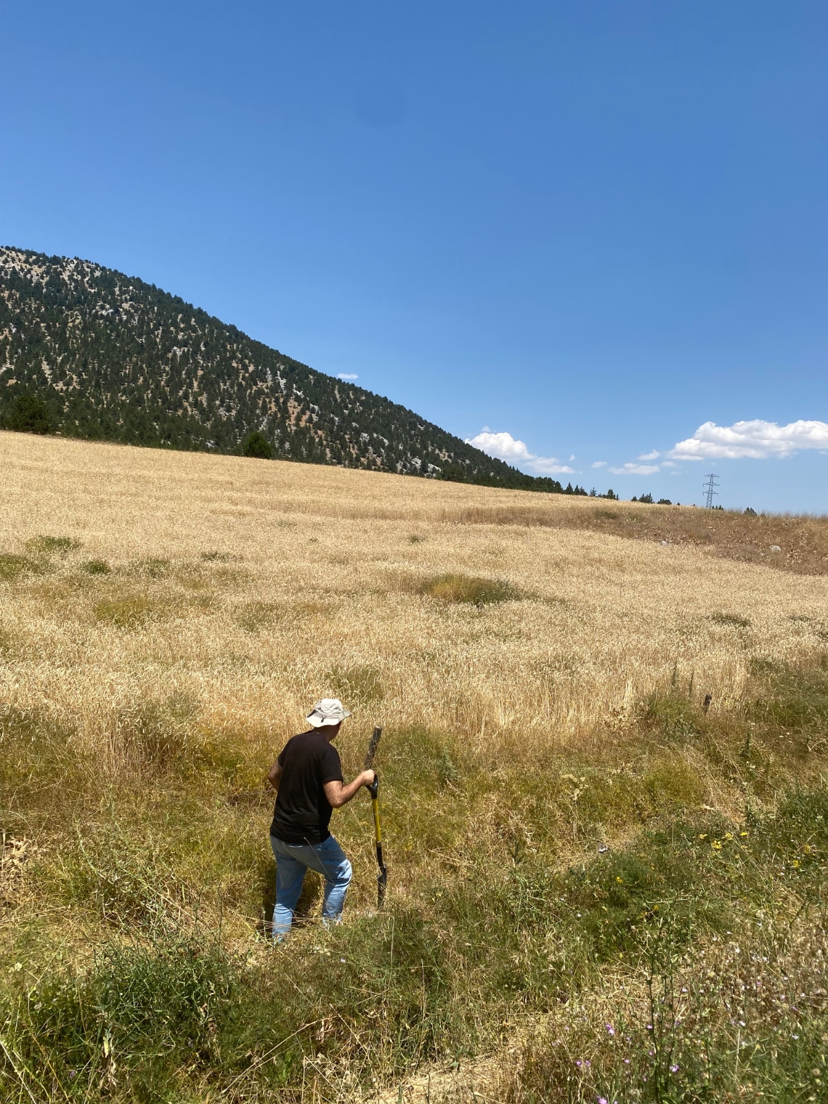
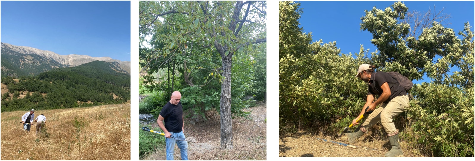
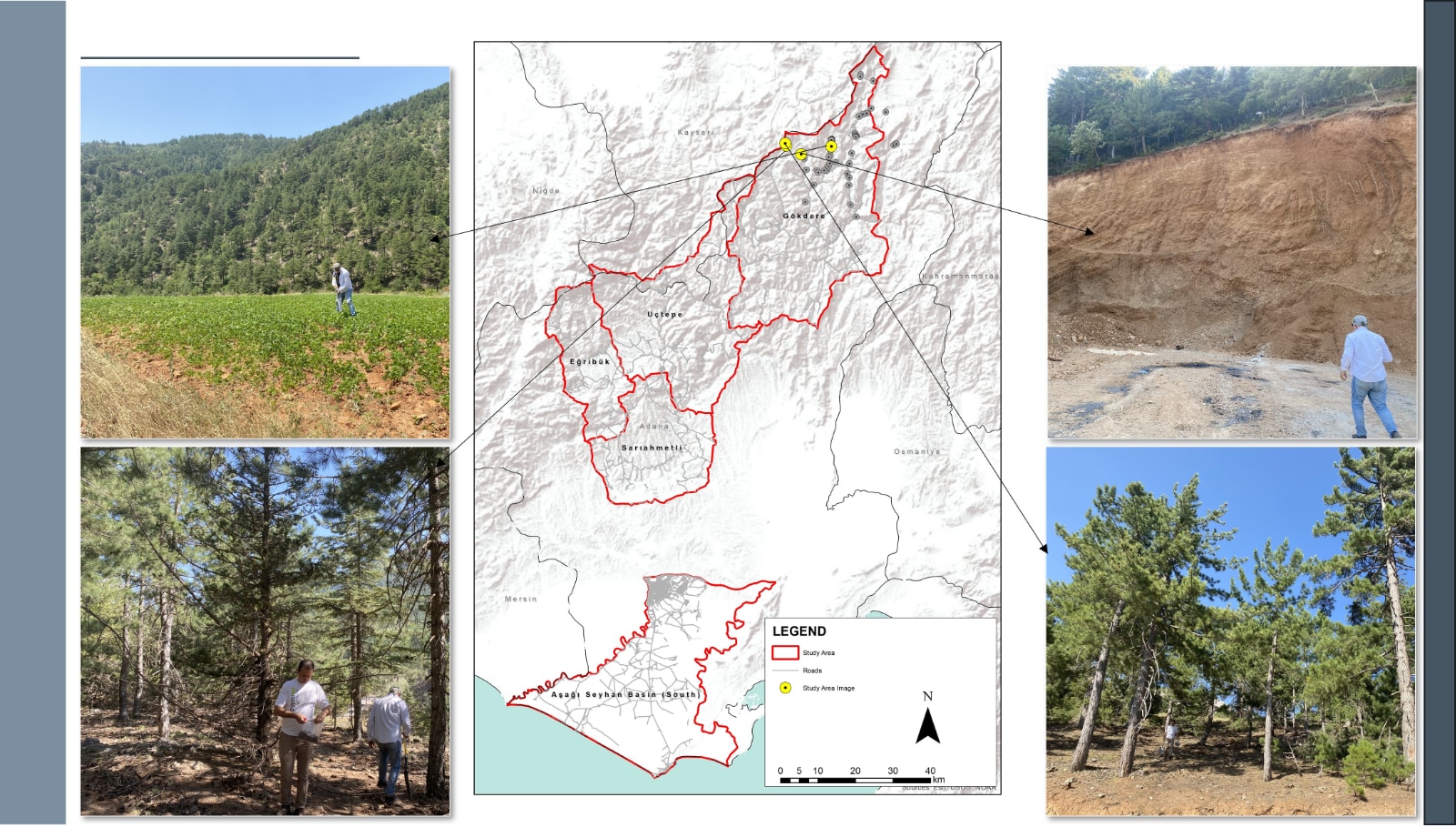
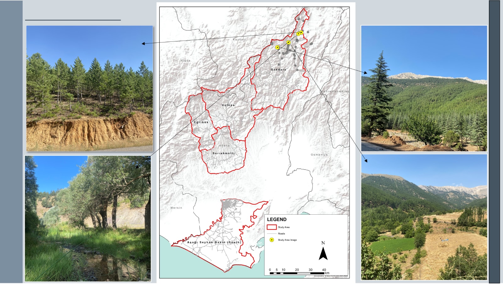
ABSTRACT In line with the principles of the EU Mission A Soil Deal for Europe, SOILS4MED will engage a large platform of scientists, stakeholders and final users in the co-design of scientifically sound, sustainable, and policy-relevant integrated soil health monitoring systems harmonized across the Mediterranean region and will demonstrate the multiple societal benefits deriving from increased investment in soil data and information. The Mediterranean Region (MR) is facing major challenges: • The average level of health of the soil resources in the MR is low and already inadequate to support economic development and food security targets, particularly in the Near East and North Africa (NENA) Mediterranean countries. • The limited availability and quality of soil data and information (SDI), and the low use made of them in the region are major barriers to the achievement of policy targets related to the Sustainable Development Goals (SDG) for 2030, as also stated by the Global Soil Partnership (GSP) NENA regional plan (Pillar four “Enhance the quality and availability of soil data and information” and Pillar five “Harmonization of methods, measurements and indicators for the sustainable management and protection of soil resources”). • The levels of awareness and engagement of the MR stakeholders on the importance of soil health protection and improvement are not at desired level, and there is lack of science-policy integration and of interdisciplinary integration among the diverse and increasingly specialised scientists working on soil. The negative implications of the poor availability and use of SDI in decision processes are greater than often understood; they undermine the capacity to: i) design sustainable and productive faming systems suited to soil conditions in a region facing increasing food security issues and declining small-farmer incomes; ii) implement a more precise and efficient use of water, nutrients, and energy resources in agriculture (e.g., precise irrigation rates, constraints, salinization risks related to irrigation); iii) enforce and or out/up -scale sustainable soil and water management (SSWM) and ecosystem restoration practices; iv) support land use planning (e.g., through reliable soil and derived -maps such as land capability and land suitability); v) quantify crop yield gaps towards food security targets; vi) measure carbon stock potentials and gaps towards CC mitigation targets; vii) establish baselines for land degradation (LD), soil ecosystem health (SEH), and ecosystem services (ES) provision, necessary to set land degradation neutrality (LDN) targets or to identify hotspots to prioritize ecosystem restoration under the UNCCD (UN Convention to Combat Desertification); and viii) establish systematic soil monitoring and alert systems to cope with increasing soil and water pollution and soil biodiversity and fertility decline. Maintaining soil health in drylands is challenging (Zdruli and Zucca, 2022; Zdruli and Zucca, 2018; Stewart, 2017). The soils and landscapes of the MR, particularly in the NENA countries, are extensively degraded due to long-term unsustainable anthropic pressure on croplands, rangelands, and forest areas, as well as the effects of climate change. In the NENA region LD is thought to have reduced the potential productivity of soil by about a third over recent years (ESCWA and FAO, 2017). Most of the MR region is classified as dryland. In NENA, soils mostly have aridic to xeric pedo-climatic conditions, are often weakly developed, naturally low in organic carbon (OC) (Zdruli et al., 2004; Soil Atlas of Africa; Global Agro-Ecological Zones V.4, 2020), and are highly vulnerable to degradation processes like water and wind erosion and salinization that are widespread in the region (FAO and ITPS, 2015; Prăvălie et al, 2021). The amount of fertile arable land is limited, continuously decreasing due to urban encroachment (Zdruli, 2014; atlasofurbanexpansion.org), and increasingly affected by the new threats of soil and water contamination due to excessive fertilizer and pesticide use. E.g., in 2018 fertilizer consumption of in Egypt reached 569 kg per ha of arable land (World Bank data) and total annual pesticide consumption in Morocco reached almost 14,000 tonnes (FAOSTAT, 2020). Increasingly degraded and dryer landscapes, OC- depleted soils, have reduced resilience to increasingly severe drought spells (FAO, 2018) and are more prone to feed sand and dust storm (SDS) events (Middleton, 2017; Zucca et al., 2022). LD contributes to major yield gaps (e.g., as high as 60% in North Africa; ICARDA Strategic Plan 2017-2026) and threats food security: NENA Med countries are among the greatest cereal and meat importers globally (OECD-FAO Agric. Outlook 2018-2027). In the NENA region the cost of LD has been estimated at USD 9 billion per year (FAO and ITPS, 2015), and the relationships between land degradation and desertification (LD&D) and migration are increasingly recognized. In the MR, particularly in the NENA countries, there is an urgent need to improve availability and accessibility of SDI and to harmonise methodologies to develop standardised soil information systems (SIS), as fully recognized by the NENA GSP plan. Soil data are frequently old, in non-digital format, relatively poor as quantity and quality, and poorly accessible due to limitations established by data owners (e.g., governmental bodies). They are often not effectively archived and lack homogeneity in terms of soil classification systems, field and lab methods, and data formats. Monitoring processes are frequently linked to sectoral policies and fragmented. Most importantly, SDI remain poorly used in policy and decision processes. To date, there is no soil property for which harmonized data exist across the whole MR, making it difficult to elaborate regional soil baselines. In the MR decision tools are often not well supported by soil data; sophisticated models (e.g., hydrological and erosion model, crop models, etc.) and decision support systems (DSS) developed in different contexts are sometimes applied in the MR without calibration because of the lack of proper soil data or implemented through approximate and non-spatially explicit parametrization of soil properties. Increasing use is made of proxy soil data obtained through remote sensing or digital soil mapping but supported by relatively little ground-truth. Sometimes local data are substituted by public domain gridded soil datasets created for global purposes, having high nominal resolution (e.g., 250m), but which validation over the MR is sometimes based on limited ground data. However, SH awareness about these issues is not as it should be to convince decision makers to invest more in SDI: a barrier to be addressed, in line with the “soil literacy” goals of the EU Mission A Soil Deal for Europe. Furthermore, methods and indicators used to assess soil health conditions are heterogeneous. The concept of “soil health” itself, along with the related “measurable indicators”, need to be adapted to the agroecological and soil conditions, in a word to the landscapes of the MR, along with, e.g., threshold values borrowed from other regions. There are, however, great opportunities and important initiatives on which SOILS4MED will leverage: i) the EU Soil Mission, providing the overall conceptual and policy framework; ii) the pan-EU topsoil monitoring system established under LUCAS (Land Use and Coverage Area frame Survey), offering an operational monitoring model, along with the large EU Joint Programme Soil (EJP Soil); and iii) the FAO’s Global Soil Laboratory Network (GLOSOLAN), Global Soil Information System (GLOSIS), and International Network of Soil Information Institutions (INSII), which set the directions for cross-country harmonisation of SIS. What is still missing to trigger the needed change is a transdisciplinary initiative engaging scientists, SHs and final users in co-developing harmonized and sustainable approaches, through a well-designed concrete exercise. Based on the above considerations, the main objective of SOILS4MED is: • To engage a wide platform of Mediterranean scientists and SHs in the co-design of scientifically sound policy- relevant soil health indicator sets and monitoring strategies harmonized across the MR, with particular focus on non-EU countries, as enabling condition for SSWM and for the protection, restoration, and improvement of soil health in the region. The specific, operational and achievable objectives (SO) are: 1. Engage SHs in line with a Living Lab and Use Case approaches: enhance their capacities and awareness on benefits deriving from increased investment in SDI, and secure policy relevance of the SEH indicator sets and long-term sustainability of the soil information systems (SIS). 2. Develop integrated indicator sets and a LUCAS-inspired soil monitoring protocol, adapted to the environmental specificities and SH needs of the MR, for region-wide harmonized assessment of soil ecosystem health (SEH), starting from a review of existing SDI, current monitoring systems, and SH needs. 3. Implement the monitoring protocol in study areas representing major agroecological regions and soil types of the MR and generate the first ever large, harmonized, SEH open access dataset for the MR. 4. Demonstrate the capacity of the SDI produced by the protocol, integrated by legacy data, to feed state of art DSS tools for SSWM and LDN, precision farming and other tools for rational water and nutrient management, and to support improved mapping of soil degradation, C-stock, and C-seq. potential. 5. Design and implement country-owned standardized soil information systems (SIS) for the effective protection, management, update, visualization, use, and controlled sharing/publication of the SDI.
|
|
Benzer Projelerimiz
Aynı kategoride diğer projelerimizi de inceleyebilirsiniz.
